Here's where to see the Houston Ship Channel... and how to see which ships are in the water!
In this Houston field trip, use all the resources provided by the Houston Maritime Education Center and Museum and then go see it for yourself!
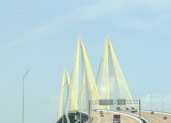
Resources:
Look below for resources about where to see the Houston Ship Channel, and learn about how big it is, what a turning basin is, how ships pass each other and what a pilot does.
- Houston Ship Channel 101 (Houston Maritime Education Center and Museum)
- Maritime Map, See Every Vessel Out at Sea (Houston Maritime)
- The Port of Houston (affiliate Book)
About the Houston Ship Channel:
The Houston Ship Channel is one of the busiest waterways in the United States. It stretches from the Gulf of Mexico to the edge of the east 610 loop and it brings millions of tons of cargo from all around the world.
Head over to the Houston Maritime Education Center and Museum's website to see videos on the size of the Houston Ship Channel, the size of the ships and the complexity of being a pilot in Houston.
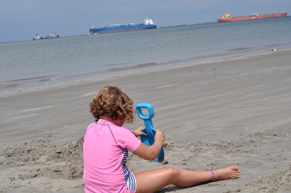
Find the Houston Ship Channel:
Go see the Houston Ship Channel! In the video below, the Houston Ship Channel gives us some good viewing spots to see the big ships.
Some good viewing areas include:
- Morgan's Point by La Porte (where the ships come very close), near Sylvan Beach
- San Jacinto Monument
- Near the Washburn Tunnel (which is also where you can see the site where Santa Anna was captured).
- Texas City Dike in Texas City (which also has a lot of history)
- East Beach in Galveston
How to know which ship you see:
You can see which ships you see, by looking at THIS live maritime map!
You can also take FREE boat tours of the Port of Houston (but will have to wait until the world returns to normal). Go HERE to learn more.


Leave a Reply